AI-Powered Geospatial Monitoring
Understand risks & anticipate change at unprecedented speed and scale
Our Products
Providing revolutionary AI-powered geospatial monitoring & on-demand data

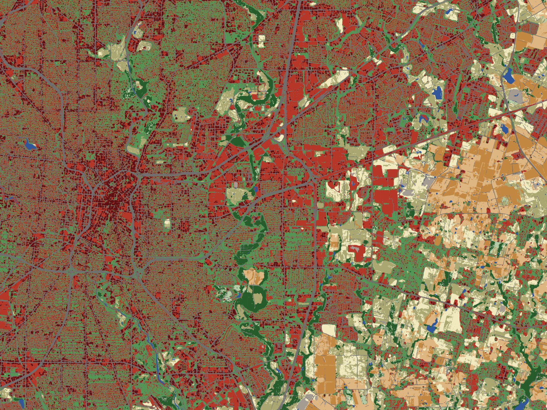
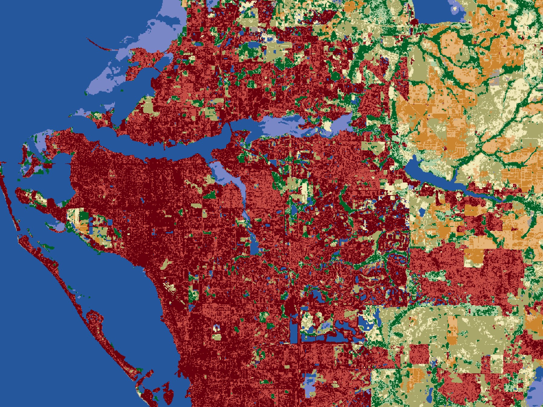
Our highest-resolution AI-powered land cover
Providing near real-time mapping and change monitoring of populations, infrastructure, and natural resources.
IO Monitor 3m Land Cover
Seasonal mapping and change monitoring
AI-powered land cover provides seasonal mapping and change monitoring of populations, infrastructure, natural resources, and the environment, from local to global scale.
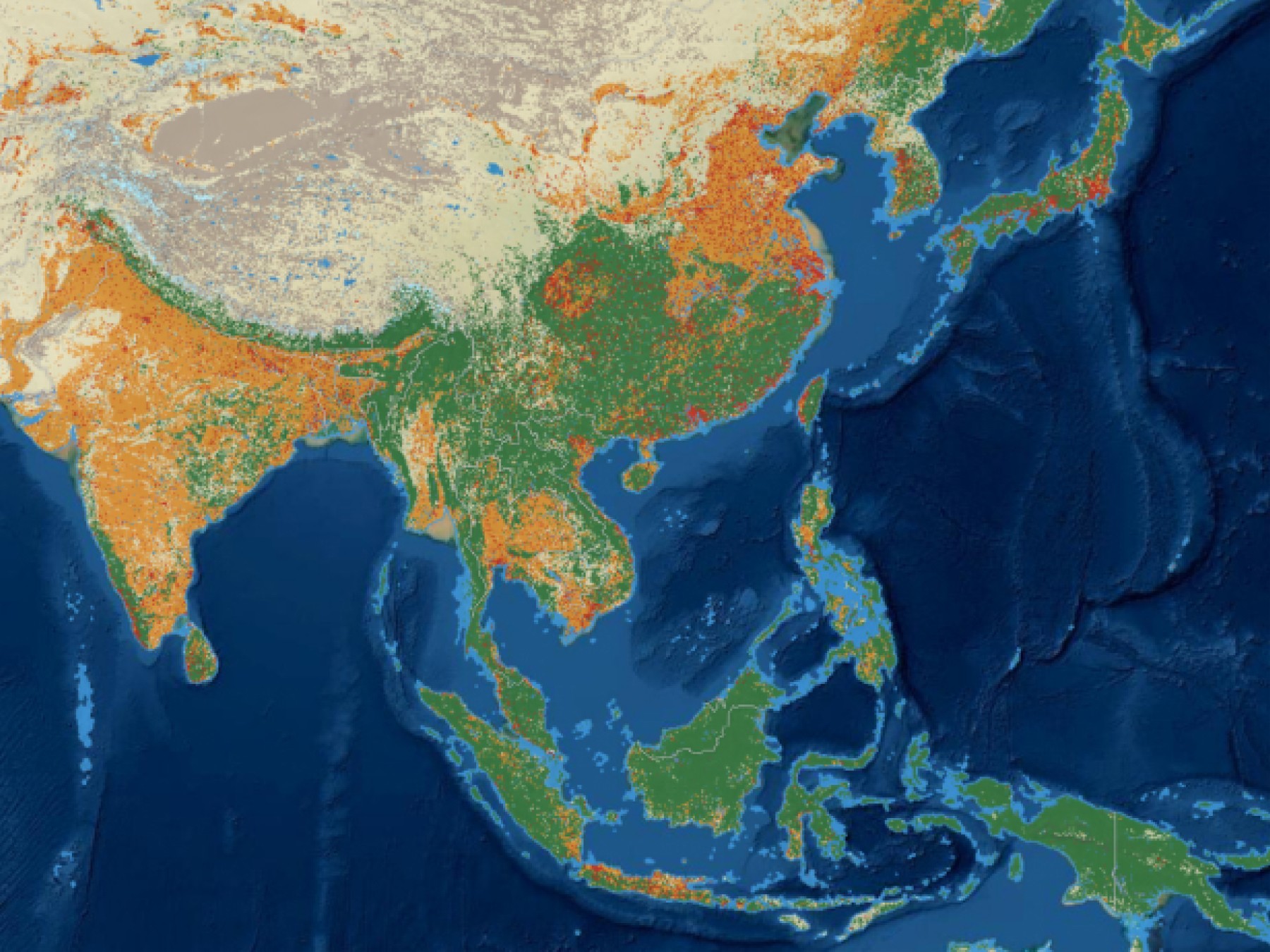
IO Monitor 10m Land Cover
Annual maps available as open science products
Global maps of populations, infrastructure, natural resources, and the environment, for the whole world as open science products.
Maps for GoodOur Use Cases
Helping our users understand large scale changes and trends anywhere on Earth
Defense and Intelligence
Understand changes to evaluate threats to populations, critical infrastructure, and strategic resources.
Disaster Response
Utilize the most up-to-date maps of human communities and infrastructure to prepare for humanitarian assistance or search and rescue operations. Assess the extent of damage following disasters such as floods and fires.
Urban Development and Planning
Monitor changes in roads, buildings, and built areas as populations and infrastructure grow to adapt for a more sustainable and climate-resilient future.
Agriculture and Food Security Assessment
Monitor crop health and long-term trends in agricultural productivity by differentiated crop type anywhere in the world.

Discover your possibilities!
Create your own custom map or talk to one of our sales team members
