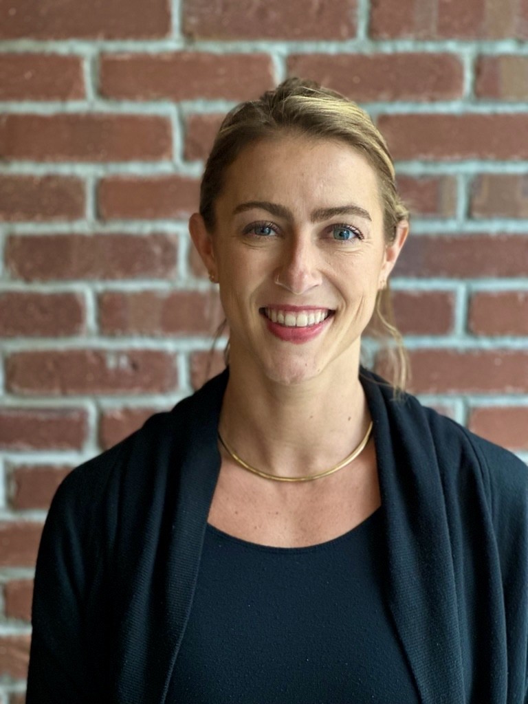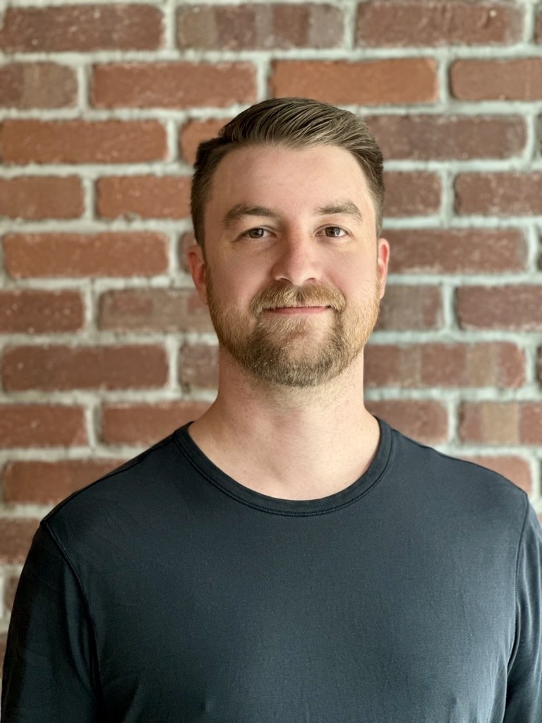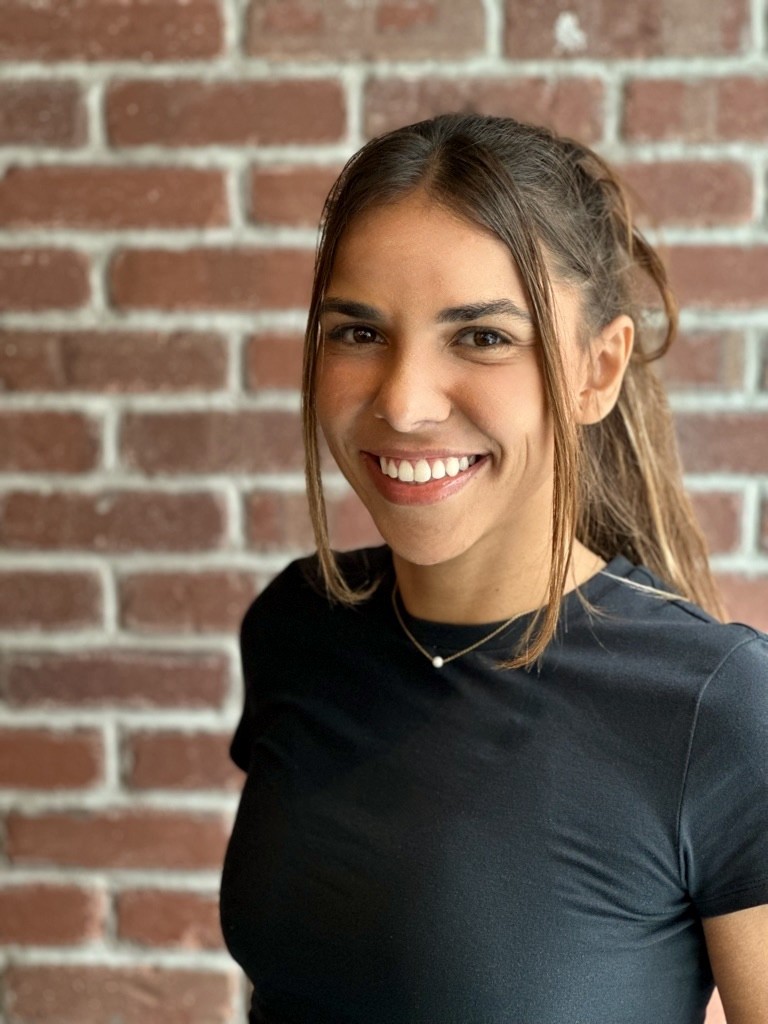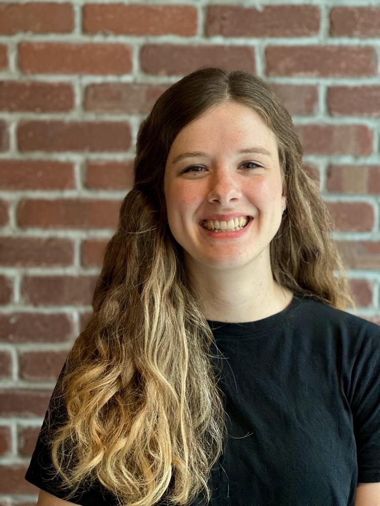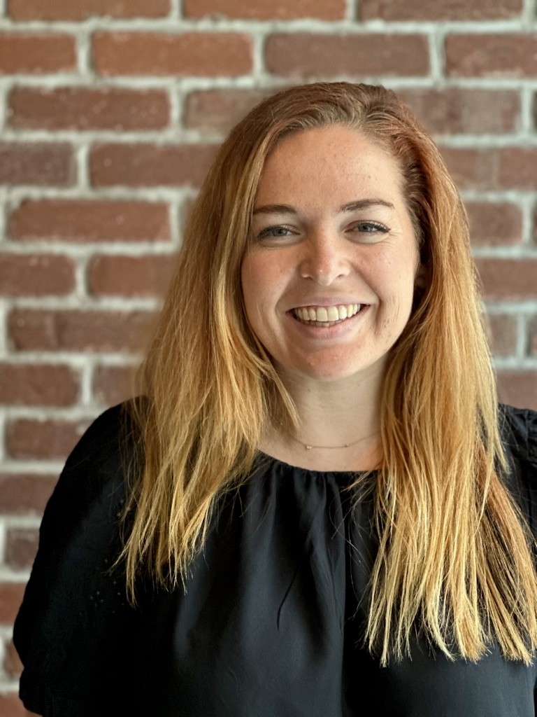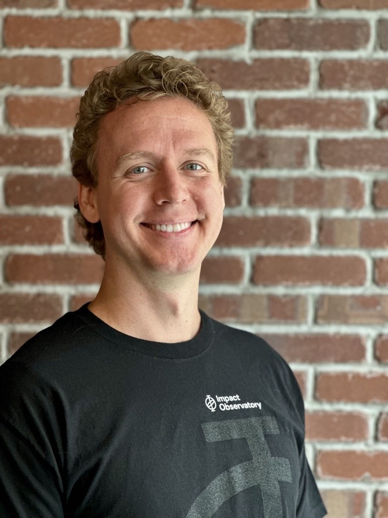
Co-Founders Steve Brumby and Sam Hyde met at the National Geographic Society, where they led the Society to develop open-source technology and geospatial science data that Impact Observatory continues to develop and bring to market.
Impact Observatory's team combines deep technical expertise with space observation systems and decades of experience creating world-leading AI+space systems for the US Government, with experience delivering innovative commercial data products for industry, finance, and governments.

Meet Our Team
IO Executives
Steven Brumby, PhD
Co-founder, CEO/CTO
Steve was the Co-Founder and CTO of Descartes Labs, a venture-backed start-up focused on understanding agriculture, natural resources, and human geography using deep learning technology and satellite imagery. Steve was a Senior Research Scientist at Los Alamos National Laboratory (LANL) working on deep-learning and genetic algorithms for video, image, and signals analysis. A co-inventor of LANL’s GENIE image analysis algorithm (R&D100 Award 2002). He received his Ph.D. in Theoretical Particle Physics at the University of Melbourne (Australia) in 1997 and has over 100 science papers and journal articles.
Samantha Hyde joins Impact Observatory following her time as a Senior Program Manager for Geographic Visualization at National Geographic Society where she co-developed and ran a $6M annual R&D program for conservation technology. Previously she was the Lead Director at Madison River Group, a climate-centric consulting firm providing science based decision support solutions and she served as the Executive Secretariat at the U.S. Global Change Research Program (USGCRP) where she provided strategic guidance to the White House Subcommittee on Global Change Research (SGCR).
Nathan has worked on advanced technologies such as LIDAR systems and large-scale analytics for infrastructure monitoring. He’s passionate about simplifying complex data and improving how multi-source information is standardized and used. As a product manager, Nathan focuses on creating impactful tools that make innovative remote sensing technologies accessible to businesses and organizations. With a Ph.D. in Aerospace Engineering Sciences from the University of Colorado, he specializes in remote sensing and has developed products for industries like insurance, mining, and supply chain optimization.
Amy brings 24 years expertise in applied machine learning, computer vision, and remote sensing, specializing in EO satellite imagery. Prior to joining IO, Amy was a U.S. Technical Expert at the International Atomic Energy Agency in the Safeguards satellite imagery analysis section, on assignment from Los Alamos National Laboratory. At LANL she was Deputy Group Leader for Information Sciences and lead an applied deep learning portfolio. Amy has designed algorithms for multiple R&D satellites and scientific instruments. She received her Ph.D. in Electrical and Computer Engineering with a Minor in Optical Sciences from The University of Arizona, Tucson in 2004.